- Whats app on+977-9856032431
- Email us now [email protected]
- Our AddressPaknajol Marg 16, Kathmandu 44600

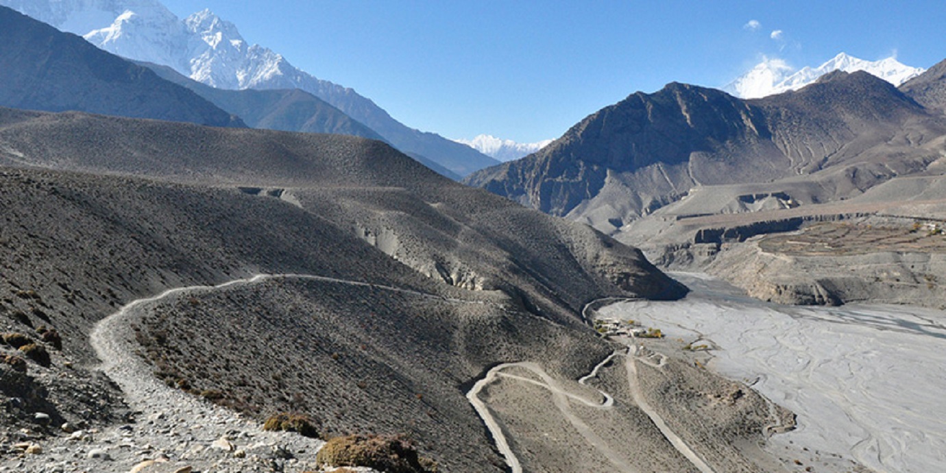
The physical beauty along the Jomsom - Muktinath trek is breathtaking. The scenery of the trail ranges from forests of brilliant red rhododendrons to rocky cliffs and desert of Mustang. The trail follows the Kali Gandaki River. This river forms the largest gorge in the world, on one side lies the Annapurna mountain range and on the other side is Dhaulagiri. Between the two ranges, there are views of 8 of the 20 highest mountains in the world.
The Kali Gandaki is a quarter of a mile wide river bed; during the winter the river is practically dry, but during the summer monsoon it fills with rain water and melting snow. You can find fossils in the banks of Kali Gandaki river which is the sacred rocks for Hindus to pray. The culture among the trail is rich (mixture of Hindu and Tibetan Buddhism). The trail weaves through the Lower Mustang region of Nepal, ending at the village of Kagbeni, a Tibetan influenced village filled with prayer wheels, chortens and a Buddhist monastery. The trail's highest point is Muktinath at 3800 mtr, a holy site of temples sacred to both Buddhists and Hindus for centuries.
Flight from Lukla to Kathmandu 1200 m 35 min
Day 1 Flight from Kathmandu to Lukla 2840 m 35 minute
Day 2 Lukla to Phakding 2610 m 4 hrs
Day 3 Phakding to Namche Bazar 3440 m 7 hrs
Day 4 Acclimatization day at Namche Bazar
Day 5 Namche Bazar to Tengboche 3860 m 6 hrs
Day 6 Tengboche to Pheriche 4240 m 6 hrs
Day 7 Pheriche to Lobuche 4910 m 5 hrs
Day 8 Lobuche to Gorakshep 5140 m 3 hrs
Day 9 Gorakshep to Kala Patthar and back 5550 m 2 hrs Gorekshep to Everest Base Camp and back 5364 m 3 hrs
Day 10 Gorakshep to Dughla 4620 m 5 hrs
Day 11 Dughla to Dragnag 4700 m 7 hrs
Day 12 Dragnag to Gokyo 4790 m 2 hrs
Day 13 Gokyo to Dole 4200 m 6 hrs
Day 14 Dole to Namche Bazar 3440 m 6 hrs
Day 15 Namche Bazar to Lukla 2840 m 5 hrs
Day 16